

South Side of Franconia Notch
On July 3rd, 14-weeks into our 2022 adventures, we landed in Woodstock, New Hampshire. A small town in (East) Central part of the state where we had planned to spend 14-days mostly hiking epic hikes in the White Mountains. Several of the hikes were Bucket List hikes.
This is where we reunited with our new friends from Fort Clinch State Park, Amelia Island Florida. Laura and Everett are New Hampshire residents who have been full-time RV living for nearly a year when we met them as they were work-camping at FCSP. We became fast friends with like interests and bonded over cocktails and dominoes by the campfire.

Just by chance, our plans overlapped so that we would be at the same KOA in Woodstock, NH…crazy just thinking about the odds. To make things even more surreal, our sites were directly across from each other. I felt the universe was screaming for us to be friends.
So they greeted us and we got settled in ready to adventure.
Campground – Lincoln/Woodstock KOA

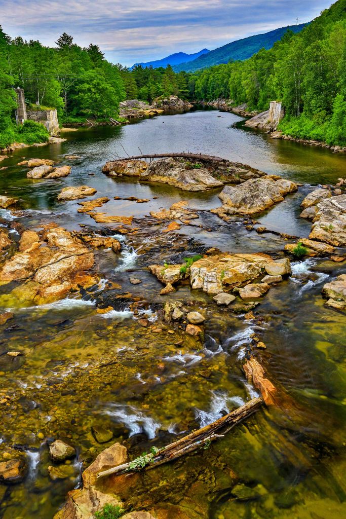
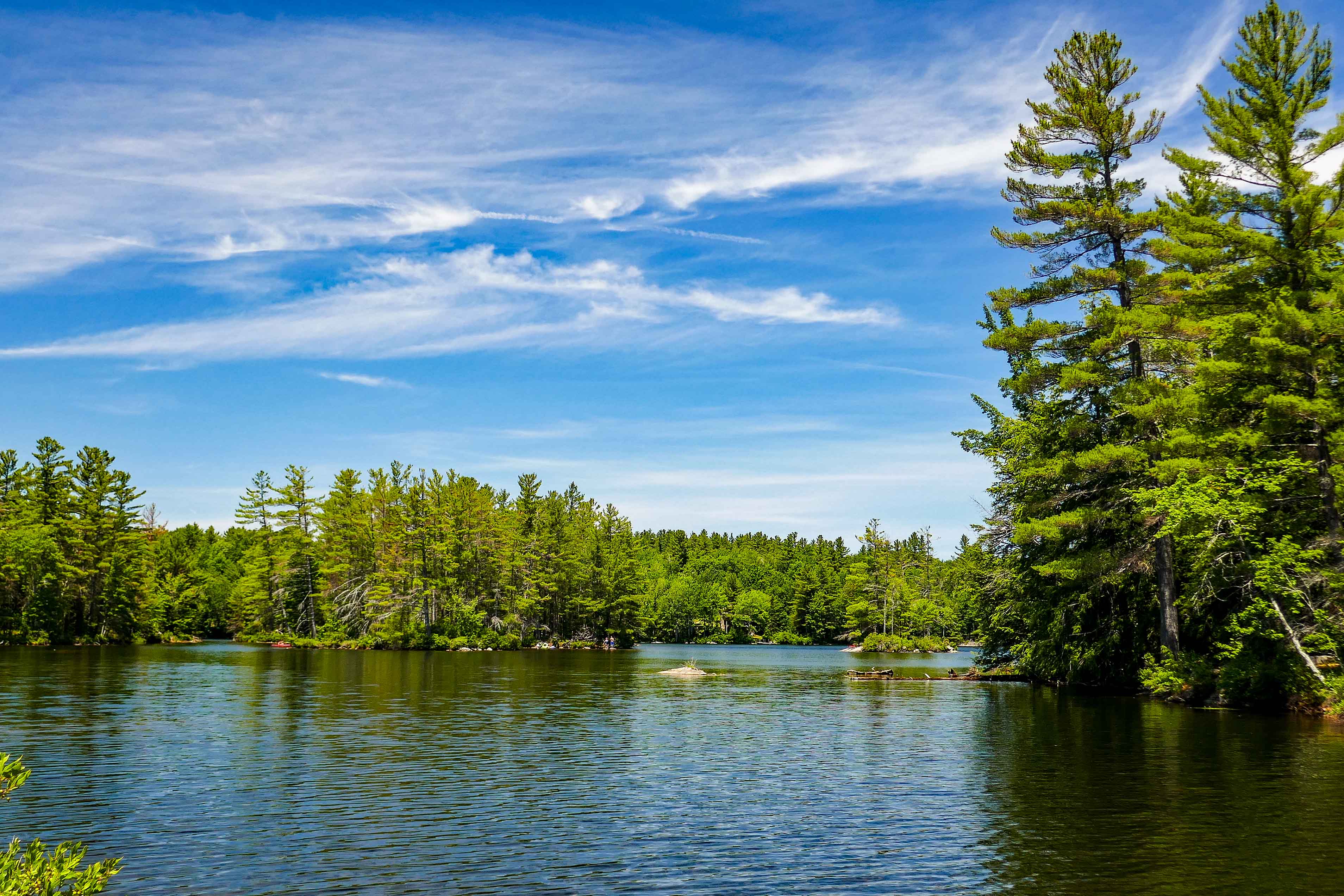
This versatile KOA with RV and tent sites as well as cabins is nestled in New Hampshire’s White Mountain Region with 800,000 acres known for natural splendor, historical charm, cultural richness and stimulating recreation – and that’s only the beginning. The campground is located next to the Pemigewasset River.
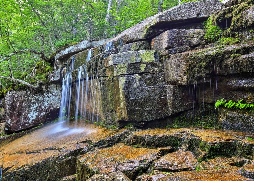
The Pemigewasset River is a beautiful river that flow through Franconia Notch. While we were there, the river was too low to paddle, but during more frequent rain the river would be a great day trip. These pictures were taken next to the Staple Rock Park bridge.

Hiking
I’ll outline a few of the hikes we did while in this area of New Hampshire. There were several that I wasn’t able to do because of my wrist injury but Mike was out there all the same exploring and enjoying all that the White Mountains has to offer.
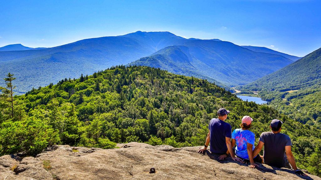
Franconia Notch
This was our BIG hike that we already wrote our post on as it deserved it’s own story. Feel free to open up that post to enjoy Mike’s photographs as well as details on the trail and our AMC Hut experience.
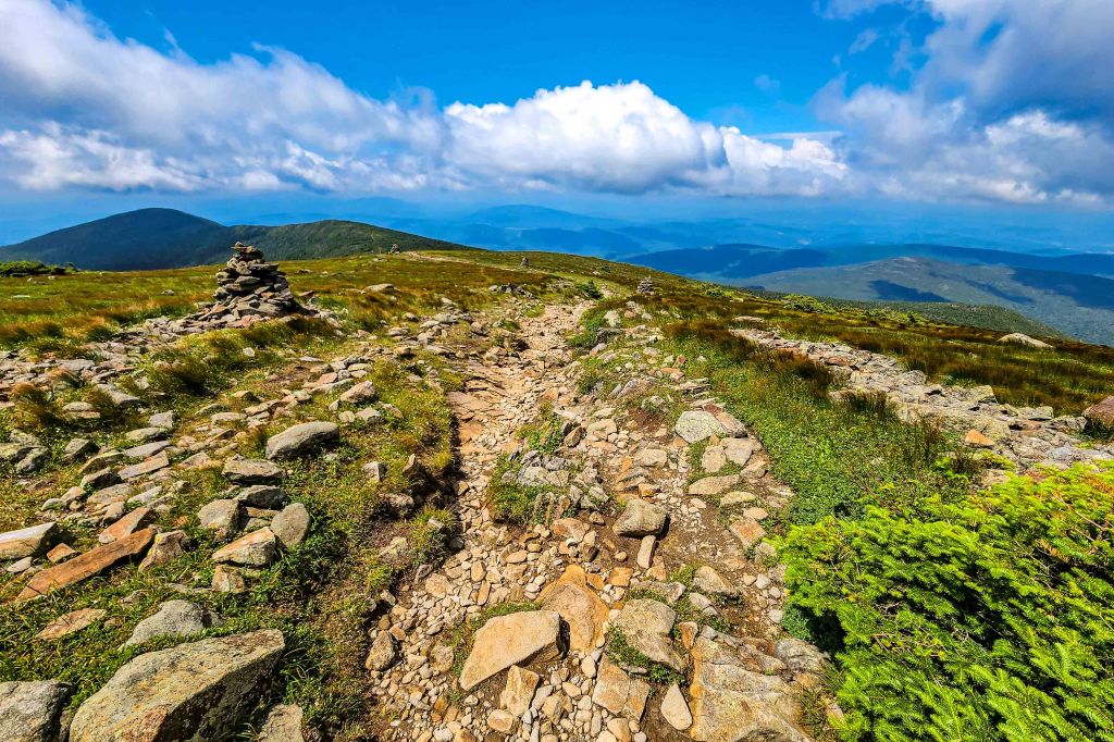
Welch-Dickey Loop
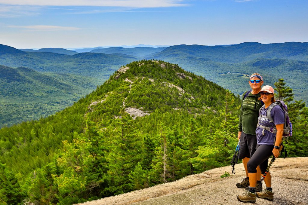
The stunning Welch-Dickey Loop Trail in the White Mountains earns its spot as one of the best and most popular hikes in the White Mountains and for good reason. This family-friendly, moderate loop hike averages 4.5-miles with around 1,778-feet of elevation gain. Once you reach the overlook at 1.3-miles you will traverses over 2-miles of open ridgeline as you pass over the summits of two relatively small mountains in New Hampshire with awesome views of Waterville Valley and the surrounding area.
The first section gradually climbs, with some short steep sections over slabs. You’ll reach Welch Mountain first. Continue northward and you’ll eventually reach Dickey Mountain. After taking in the views, the trail veers westward, and there is a gradual decline back down to the parking area. We highly recommend this hike.
Artist Bluff & Bald Mountain
Another classic summit where amazing views can be seen with little hiking effort. Both the summit of Bald Mountain and Artist Bluff offer incredible views of Franconia Notch and Mount Lafayette. This set of trails are very popular with families and just about everyone else.
Both summits are very easy to access. Bald Mountain is only 0.4 mile from the trailhead with some Class 2 scrambling with some exposure. Artist Bluff is even an easier Class 1 trail from the parking lot.
Class 1 – A hiking scramble to a rocky gradient; generally hands are not needed.
Class 2 – Involves some scrambling and likely use of hands; all but the most inexperienced and clumsy will not want a rope.
Class 3 – Moderate exposure may be present; simple climbing or scrambling with frequent use of hands.
Mount Moosilauke and South Peak Loop


Mount Moosilauke is a 4,802 foot mountain at the southwestern end of the White Mountains in the town of Benton, New Hampshire along the Kinsman Range. It is the tenth highest and Western-most of the 4,000 foot summits in the White Mountains.

Mike did the moderately difficult rated AllTrails 8.2-mile loop near Glencliff, New Hampshire that covers three trails and summits Mount Moosilauke and South Peak.
The summit has great 360-degree views, but remember to stay on the main rocky sections and don’t trample the grass at the top. To make this trail a loop, you’ll hike the Carriage Road (Appalachian Trail / AT) over to the Snapper Trail, and make a stop at the South Peak on your way down.

Mount Chocura
Mount Chocorua is a moderately difficult hike located at the southern end of White Mountains. Standing at 3,478 feet, it offers outstanding 360 degree views on its rocky and uniquely shaped summit. A perfect view to the north and west into the heart of the White Mountains, and the many surrounding lakes and peaks nearby.
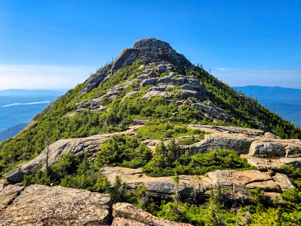
The Champney Falls Trail offers gorgeous views as you walk past Champney Falls to Chocorua. Round trip around 8.4 miles with about 2,300 feet of elevation gain. It is accessed from the Kancamagus highway. There is a good sized parking lot at the trailhead.
Drives
Kancamagus Scenic Highway
If you’ve ever traveled the famous Blue Ridge Parkway, then you will know what to expect from the “The Kanc”. Pronounced “Kank-ah-mah-gus.”
The Kancamagus Highway is a 34.5 mile scenic drive along NH’s Rt. 112 in Northern New Hampshire. This Scenic Byway takes you through a path cut through the White Mountain National Forest with breathtaking views of the White Mountains, the Swift River, Sabbaday Falls, Lower Falls and Rocky Gorge taking you to an elevation of just under 3,000 feet at its highest point at Kancamagus Pass on the flank of Mt. Kancamagus near Lincoln, NH.
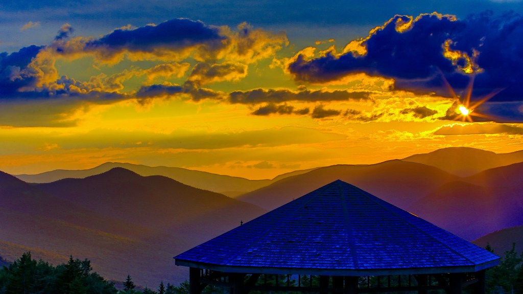
Our First stop was the Pemigewasset Overlook for a sunset. Gazing out over Osceola Mountains, this overlook offers a firsthand glimpse into the beauty of the area.
Another stop was Sabbaday Falls, one of the most popular locations on the Kancamagus Scenic Byway. It is easily accessed via an easy 15 minute walk on an evenly graded and gravel surfaced trail from a paved parking lot, with a stone staircase and gravel walkway directly adjacent to the falls.

We stopped and visited other attractions along the route; however Mike never pulled out his camera for them. All we can offer, its a MUST DO when in the area.
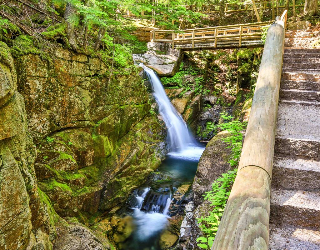
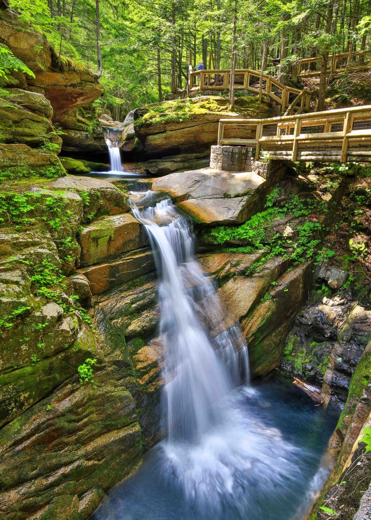
Flume Gorge
The Flume is a natural gorge extending 800-feet at the base of Mount Liberty. The walls of Conway granite rise to a height of 70 to 90 feet and are 12 to 20 feet apart. The Flume Trail is a 2-mile loop starting at the check-in booths located in front of the Flume Building. The entire loop takes approximately 1.5 hours. The walk includes uphill walking and lots of stairs. The boardwalk allows you to look closely at the growth of flowers, ferns and mosses waterfalls and the steep rocky gorge.


Kayaking
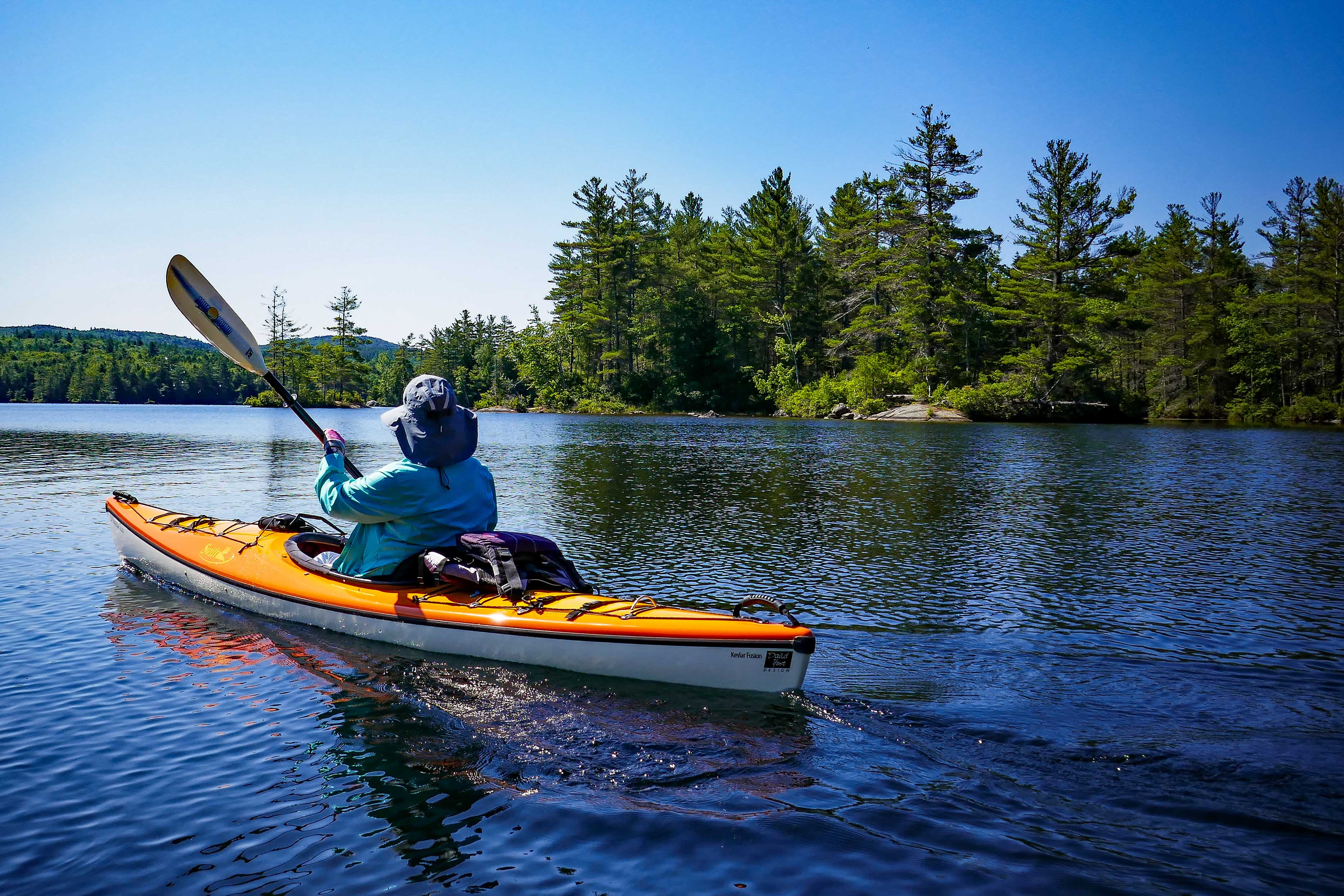
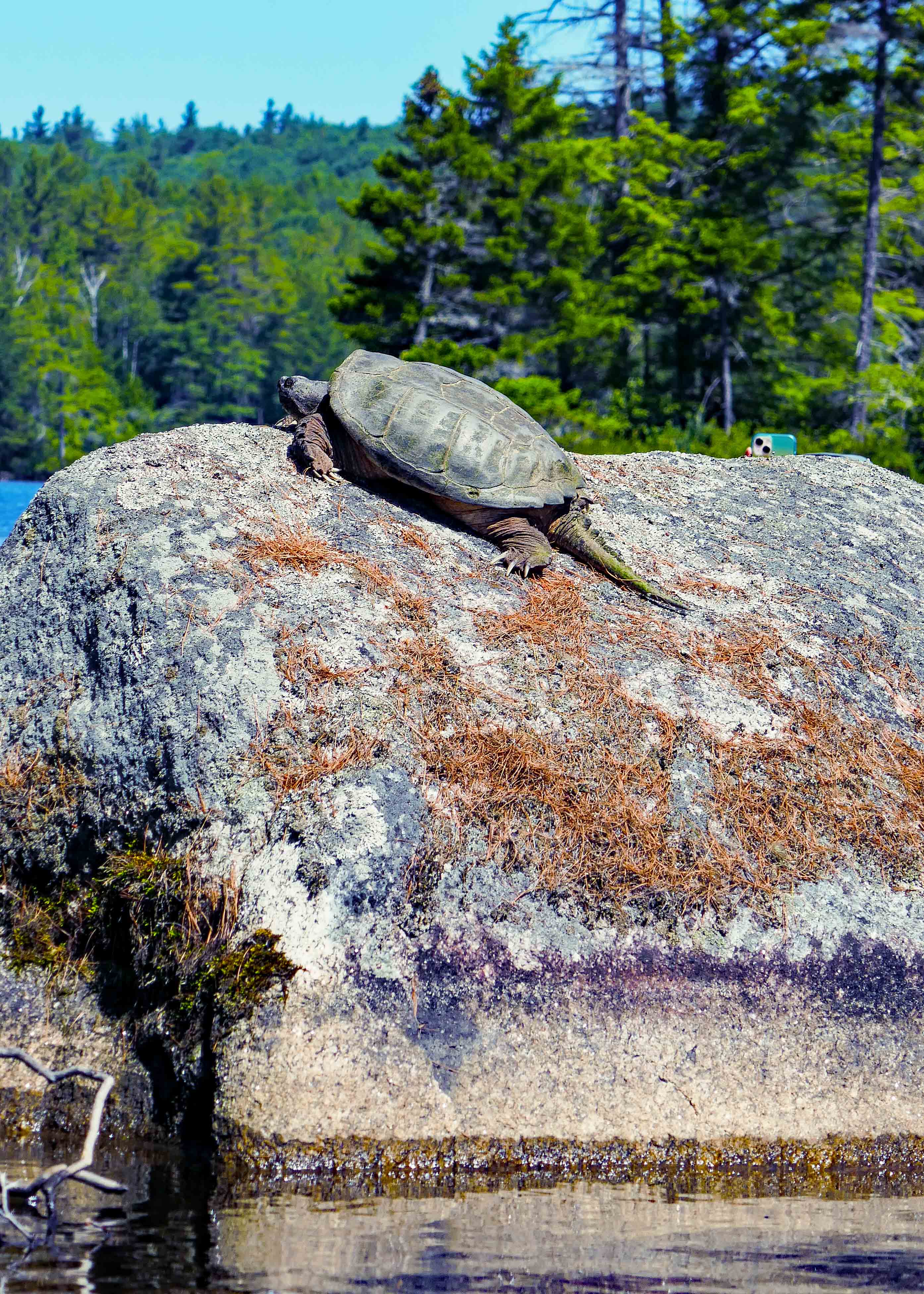
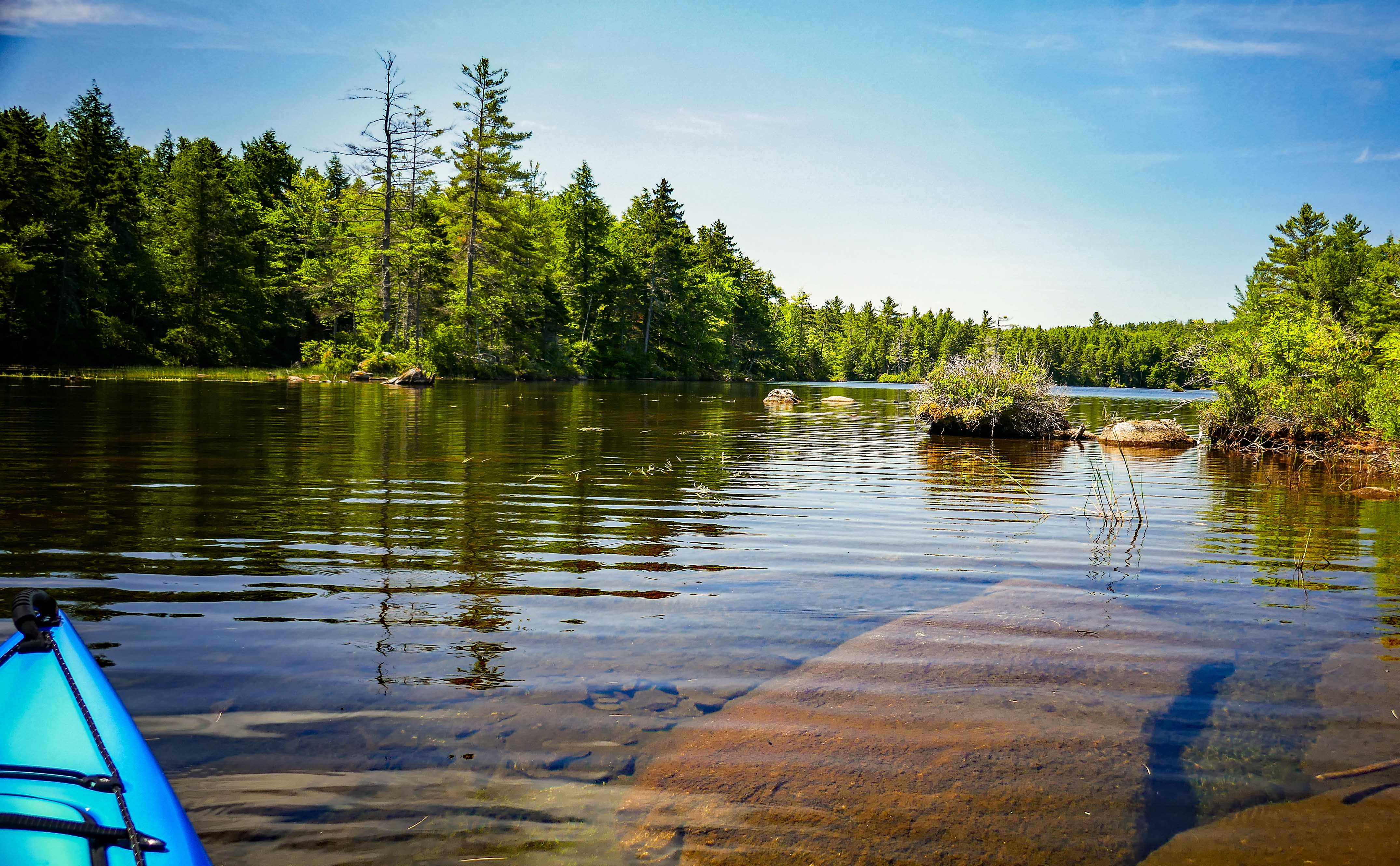
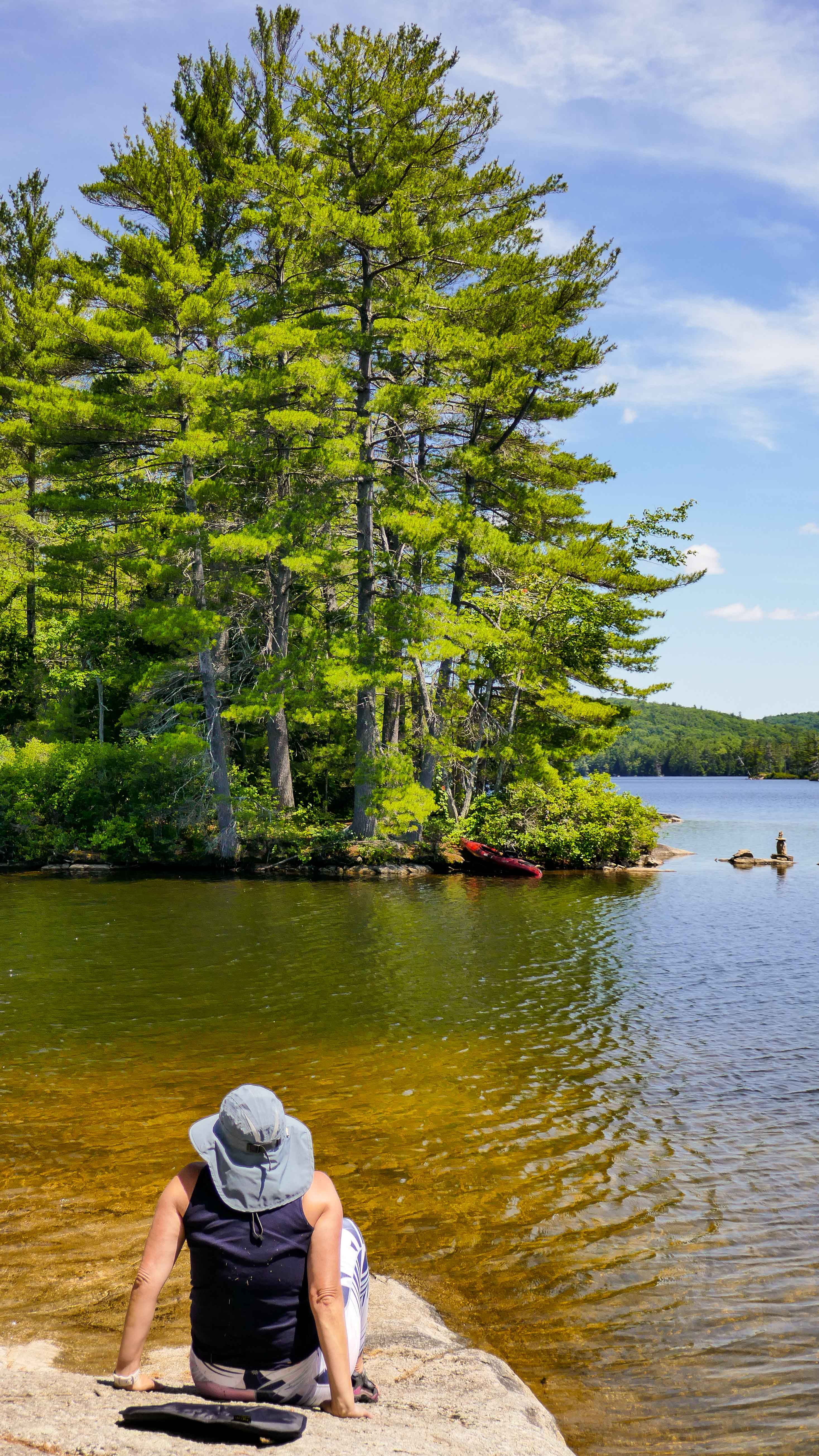
Grafton Pond
Grafton Pond is a 300+ acre lake with an almost entirely undeveloped shoreline. There are numerous bays and uninhabited islands to explore.
Having been warned that the area gets busy, we started on an early Sunday morning and only a few paddlers were already in the water. We enjoyed an easy paddle along the shoreline, enjoyed watched a couple different Loon families (babies are adorable) and enjoyed a relaxing picnic lunch on one of the islands. All in all a perfect day. As we were taking out, it was becoming a mad house with cars lined up to park and get their boats in the water.
Highly recommend this paddle and I bet it would be phenomenal during the fall with the colorful trees that line the shore.
Biking
Road riding is very popular in the area. This was a favorite pastime of our dear friends Laura and Everett. We did do one of their favorite rides through Waterville Valley but otherwise we stuck to multi-use trails like the The Franconia Notch Recreation Path.
Franconia Notch Recreation Path
Discover this 8.8-mile point-to-point trail near Franconia, New Hampshire that contains hills, bike-walk areas and an elevation gain of approximately 800-feet from south to north. Running the length of Franconia Notch State Park, the 8.7-mile paved Franconia Notch Recreation Path passes by several of the Western White Mountain’s best attractions. Break a sweat, dip your toes in the cool waters of Echo Lake, and visit some of New Hampshire’s most iconic spots on the Franconia Notch Recreational Path.
We were warned that this trail get extremely busy on any given summer day so we chose an early Sunday morning. With cool temps we parked at the Flume Gorge Parking lot, biked the 8.7-miles and turned around at the end in the Skookumchuck trailhead parking lot.
We stopped along the way at several points, including the can’t miss Man in the Mountain
Memorial, The Basin and truly enjoyed the solitude of the ride that Sunday morning.
Follow us along at:
Instagram: @nspiredadventuresblog
Facebook: Nspired Adventures (Page)
Fine Art America: Nspired Eye Photography
RV Life Campground Reviews: https://campgrounds.rvlife.com/profile/212086
Email: nspiredadventures2020@gmail.com
Travel Far, Dream Big, Live Well
-Nspired adventures
